
Summary
May 9th
PA 94 (Holly Inn, Mount Holly Spring) to US 11 (Days Inn, Carlisle)
NOBO mile #1129.6
Tolmann’s miles today: 16.8
Tolmann’s total miles: 105.9
 This a tough report-out. Looooooooong day. I’ll try to be succinct.
I don’t know why I didn’t study the guidebook prior to going out to hike. In general, I will spend time figuring out the major milestones, but I don’t look at the elevation changes. I prefer not having expectations, but that can cause problems.
So I knew that I had a few milestones: rock mazes, Alec Kennedy Shelter, corn fields, Backpacker’s Campground, the town of Boiling Springs, maybe Carlisle.
First there with the rock mazes. The guidebook had two of them in a row, but I didn’t know what it meant by the term. I thought maybe they were rock fields; that’s what I expected. But I didn’t expect was a long haul ascent to get to them. After the past couple days I was expecting to come out of the gate strong, but this climb really took it out of me. And there at the top were huge piles of rock; they really were mazes. There were these passageways where the rocks closed in, with large steps and scrambles; all in all, very difficult. I was a little concerned that the guitar was hanging off the back of backpack. Every once in a while I’d hear a musical “thwang”, and I’d wince.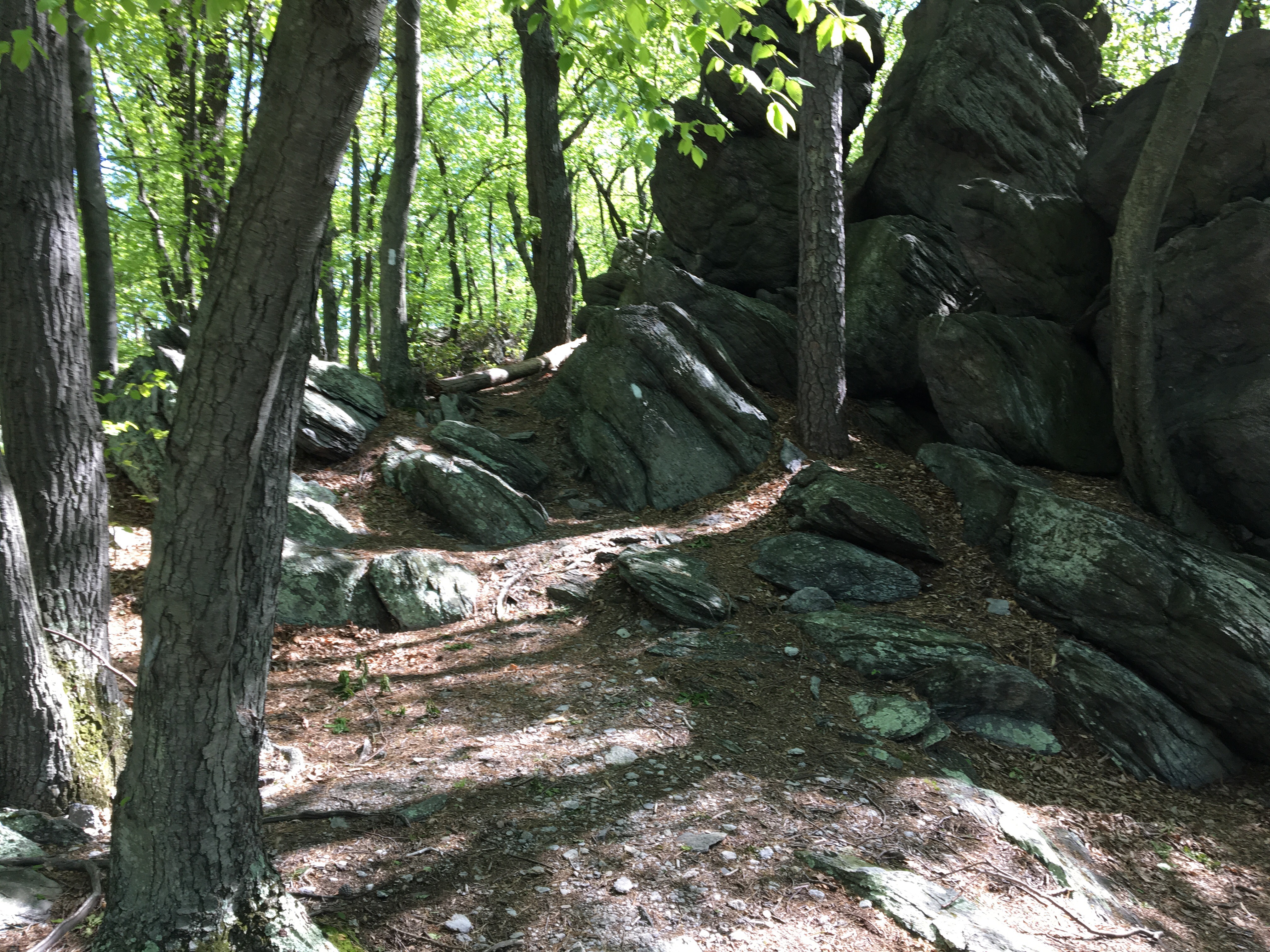

It took much longer to get through them than I expected. That was kind of a theme of the morning: the trail kept going up and down. Of course, if I’d studied the guide, I would’ve had a better sense of what I was in for.
With the doings at the rock mazes and the significant elevation changes, it took the entire morning to get to Alec Kennedy Shelter, where I stopped for lunch. There I finally took some time to check the guide for the route for the afternoon. I saw that there was a significant ascent right after the shelter, then the drop into Boiling Springs.
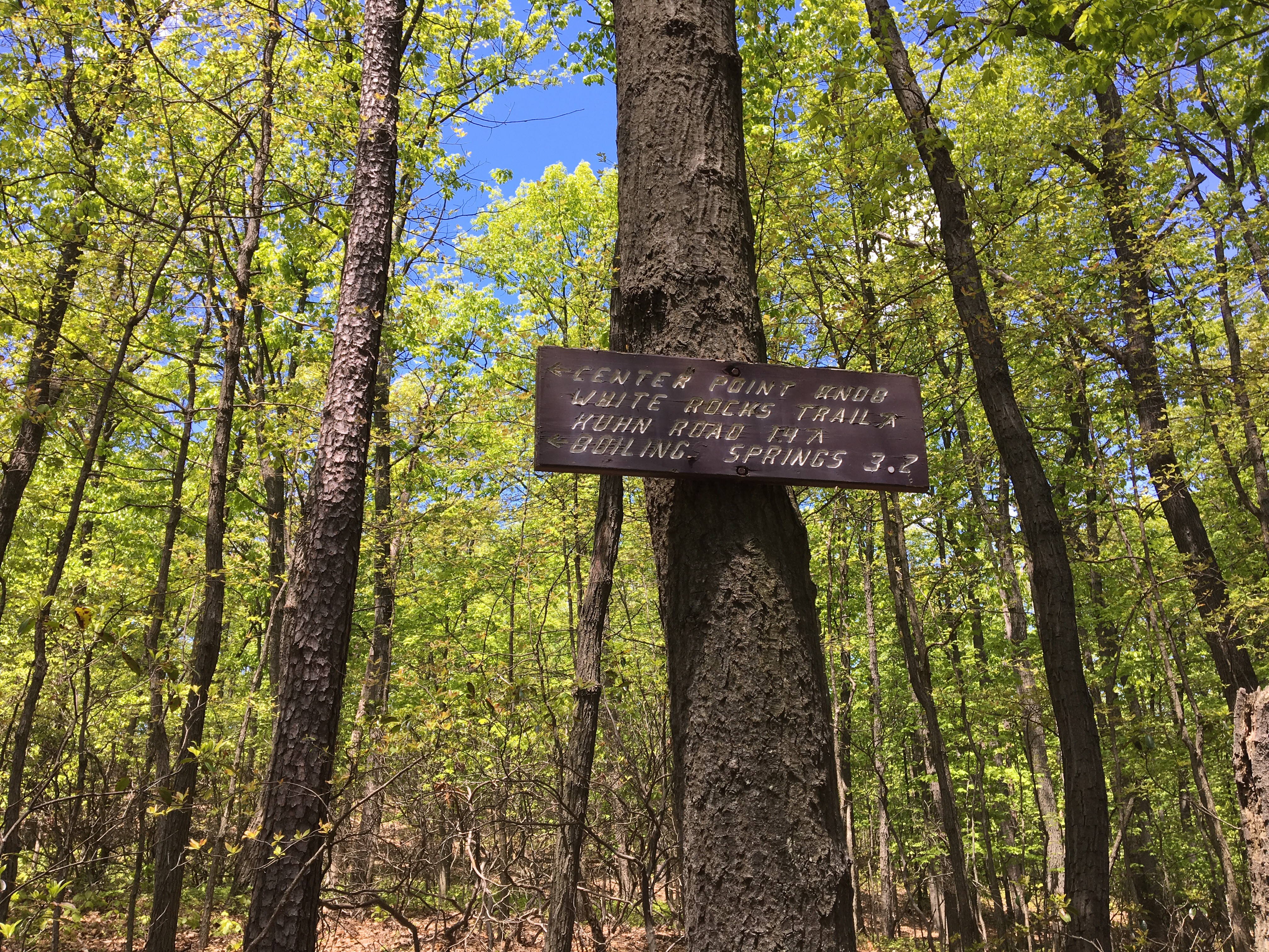
Somewhere after the rock mazes, I had met Hank and his dog Brody. We bumped into each other again as I came back on trail after lunch. I told him about the climb ahead. He was thinking about staying at the Backpacker’s Campground just south of Boiling Springs. I was considering it myself, although I heard some bad things about it. The campground is right along the railroad, and the trains go by all night, blowing their horns for the nearby street crossing, so it’s very hard to get any sleep there. The other option was to walk or shuttle to Carlisle (7.8 miles further up the trail); I planned on making the decision after checking out the campground.
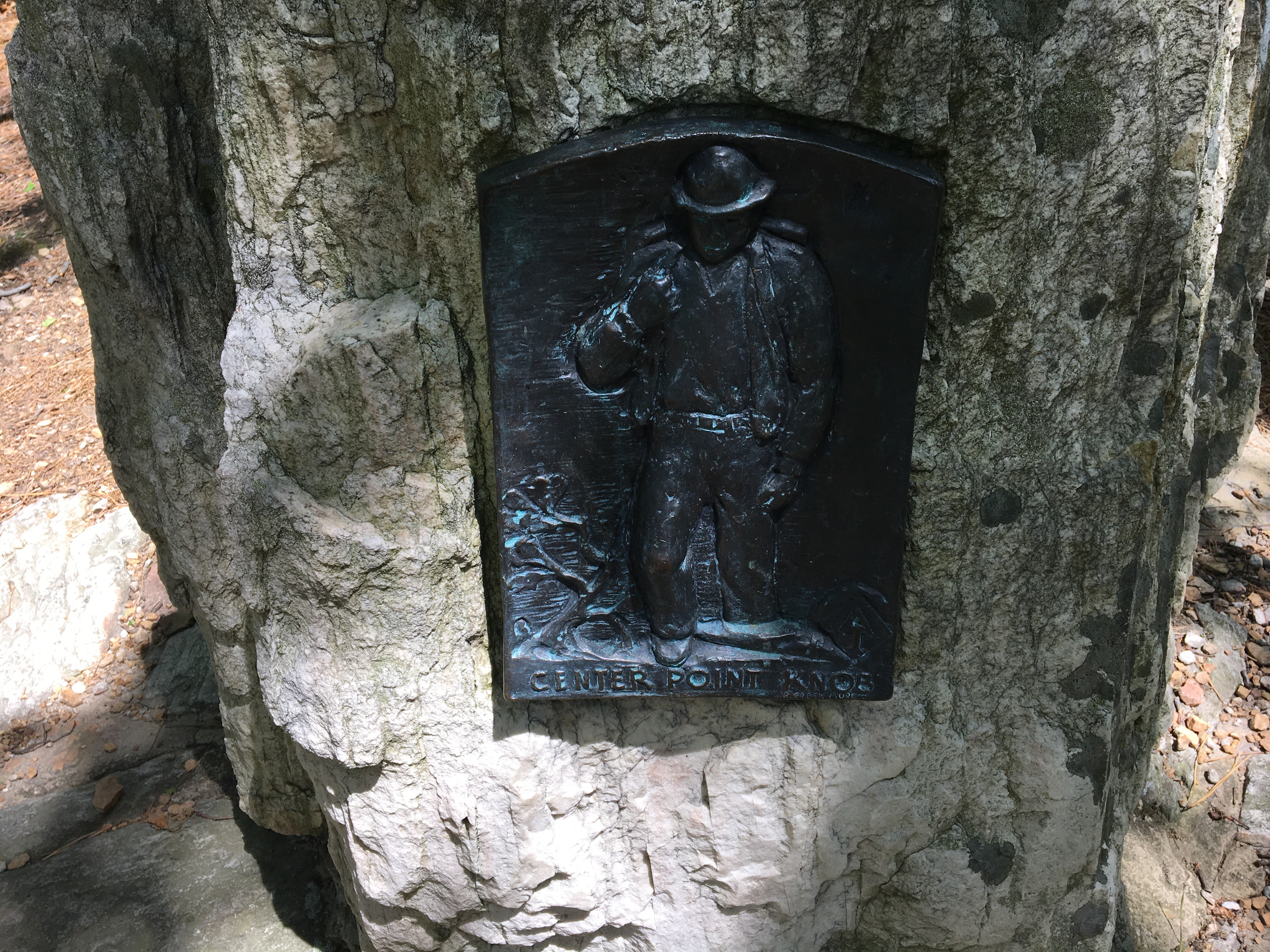
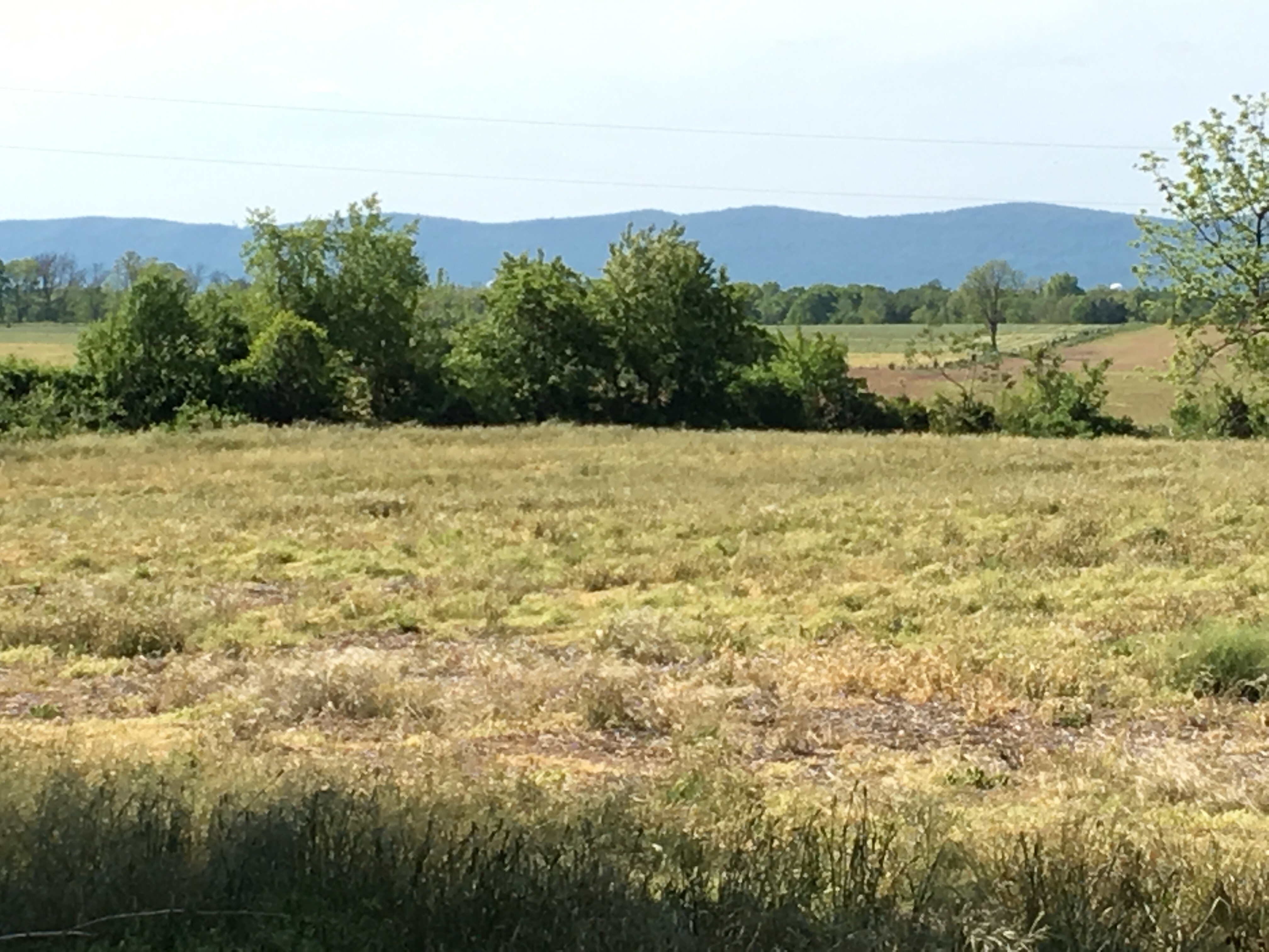
So I climbed up the next hill, coming to the original center point of the trail called Center Point Knob, which had the closest thing to a view, that I’ve had for days.
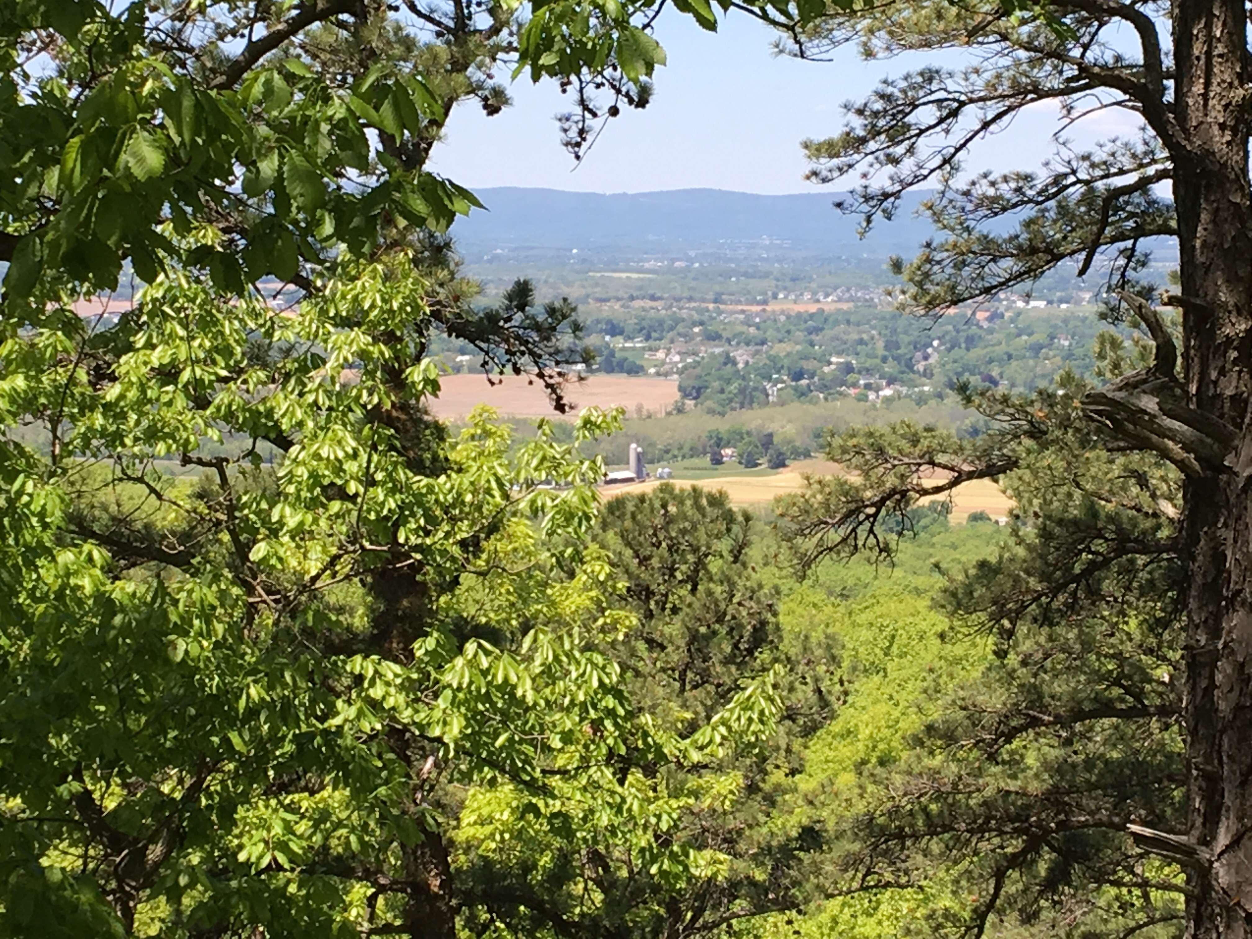 View from Center Point Knob
Then it was down, down into the Cumberland Valley. The trail folks are very strict on this stretch; they don’t let any one stealth camp between Center Point Knob and the Darlington Shelter some 18 miles away; as I said, the only option is at the forementioned Backpacker’s Campground. The restriction is probably due to amount of private property right up against the trail corridor.
The trail crosses corn fields for a couple of miles, before reaching town. 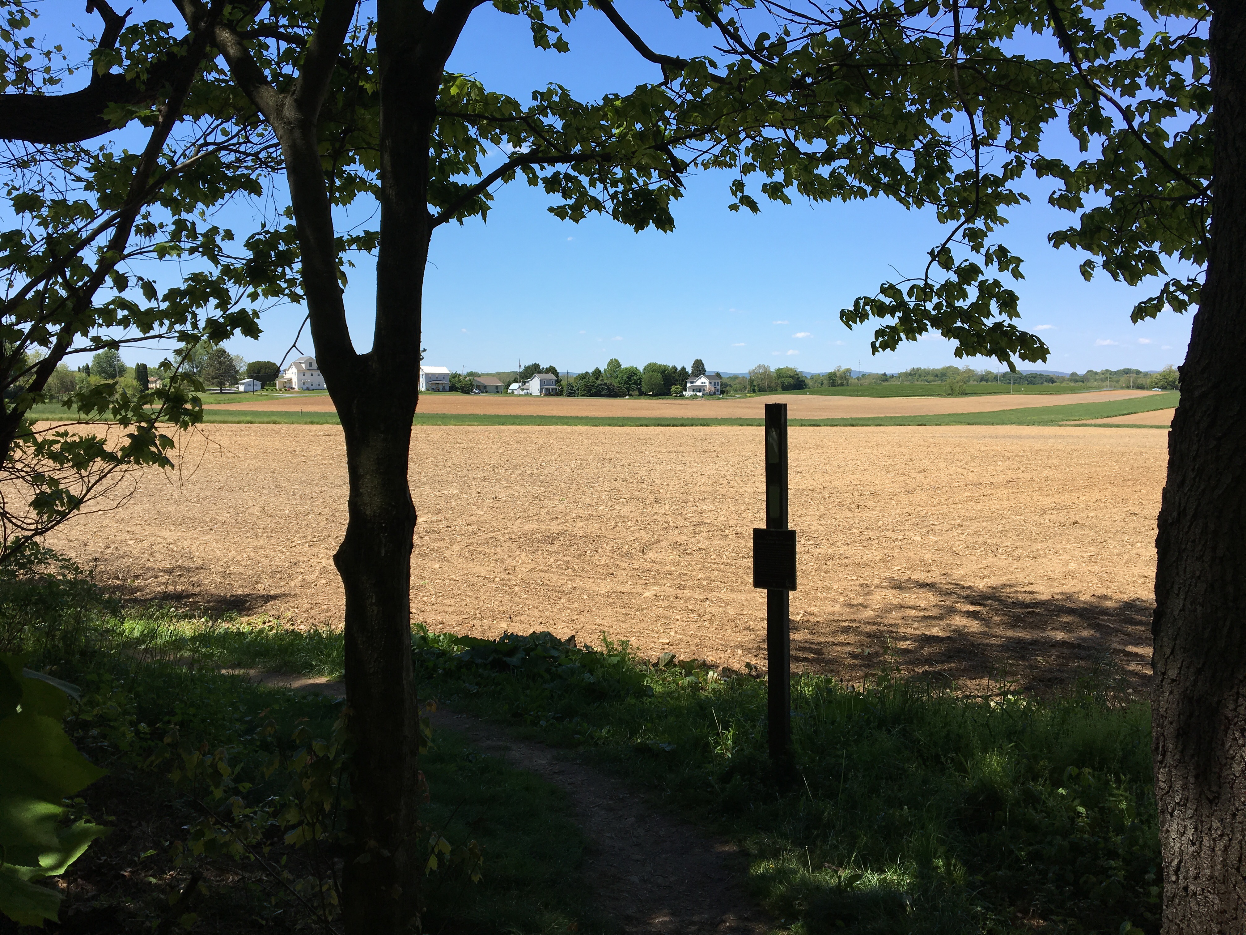


And then there it was: the infamous Backpacker’s Campground! The guidebook says that there are public bathrooms, so I had expected running water and toilets. Again, one should read the details in the guidebook. Apparently there is a portapotty ‘in season” (read “not now”). Basically, it’s a grassy clearing between the corn fields and train tracks. And no real hammocking options.

While I was there (maybe 10 minutes), two trains went by (one in each direction). No, I would not be able to sleep there; that’s one authentic Trail experience I will forego.
Then I was walking through Boiling Springs, where I stopped at the ATC Headquarters for some water and to stamp my AT Passport.
There I saw Hank and Brody again, and we talked about next steps. It seemed he was ready to call a shuttle to bring him to Carlisle and the hotels. I had talked with one of the staff members about the feasibility of walking the remaining 7.8 of the AT to US 11, and she seemed confident it was possible. “It’s flat as a pancake”, she said. What I saw, but didn’t really see, was a posting for a local hostel that would have saved me some pain.
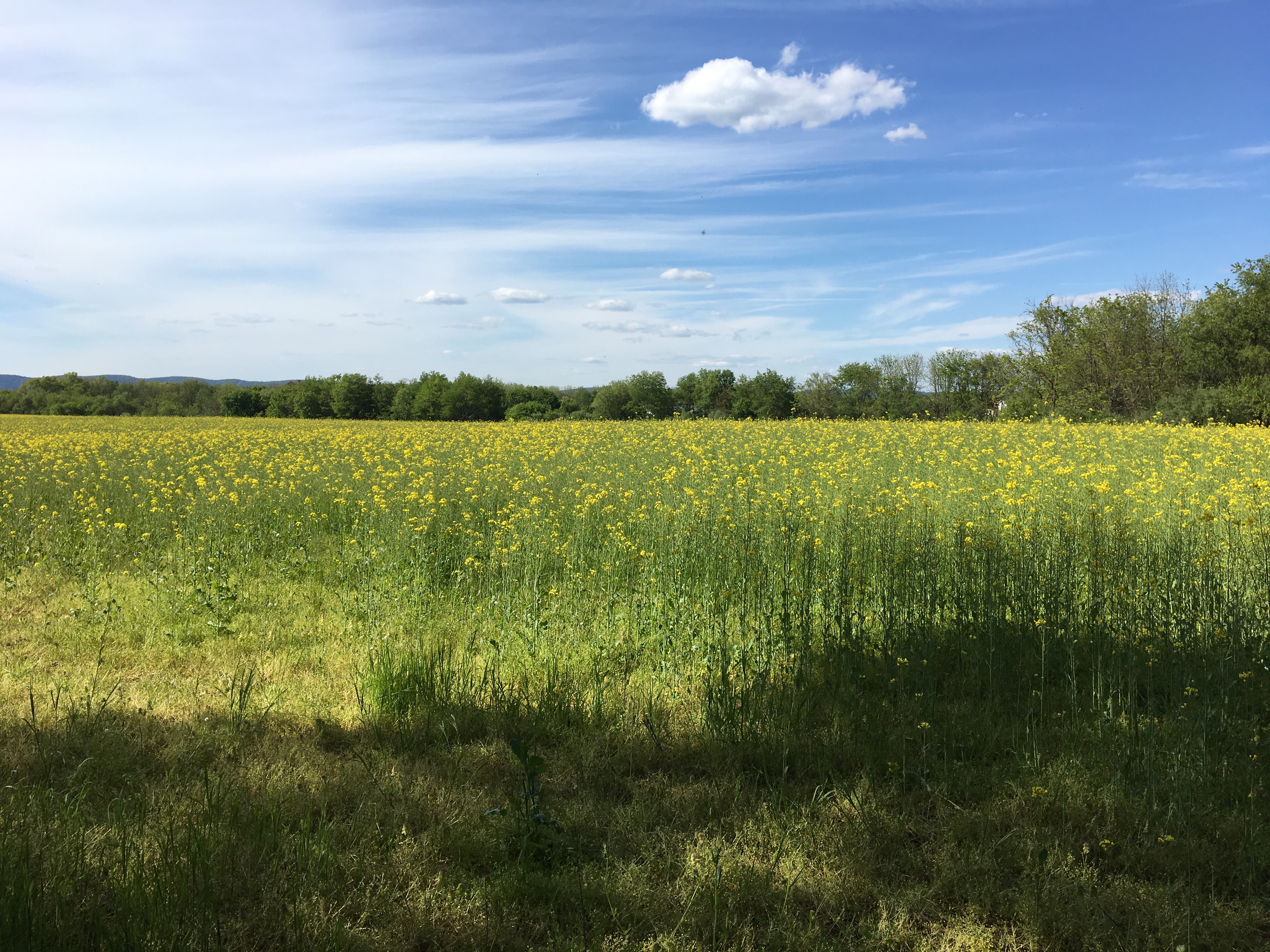
So I commited to the 2.5 mph pace it would take to make the miles in a decent time frame. At first it was fine; I felt how I was pushing, but it still felt pretty comfortable. At one point I came upon this scene:
I laughed right out aloud, the wildflowers were so exuberant; it was delightful!!
Shortly after this, I had to use stiles to cross fenced-in fields:
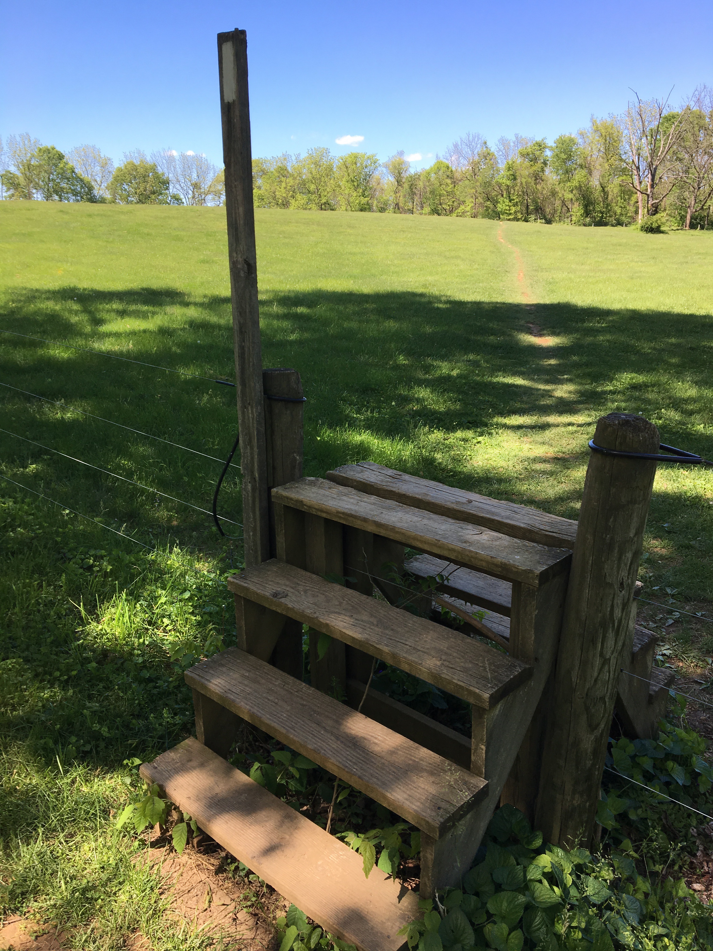
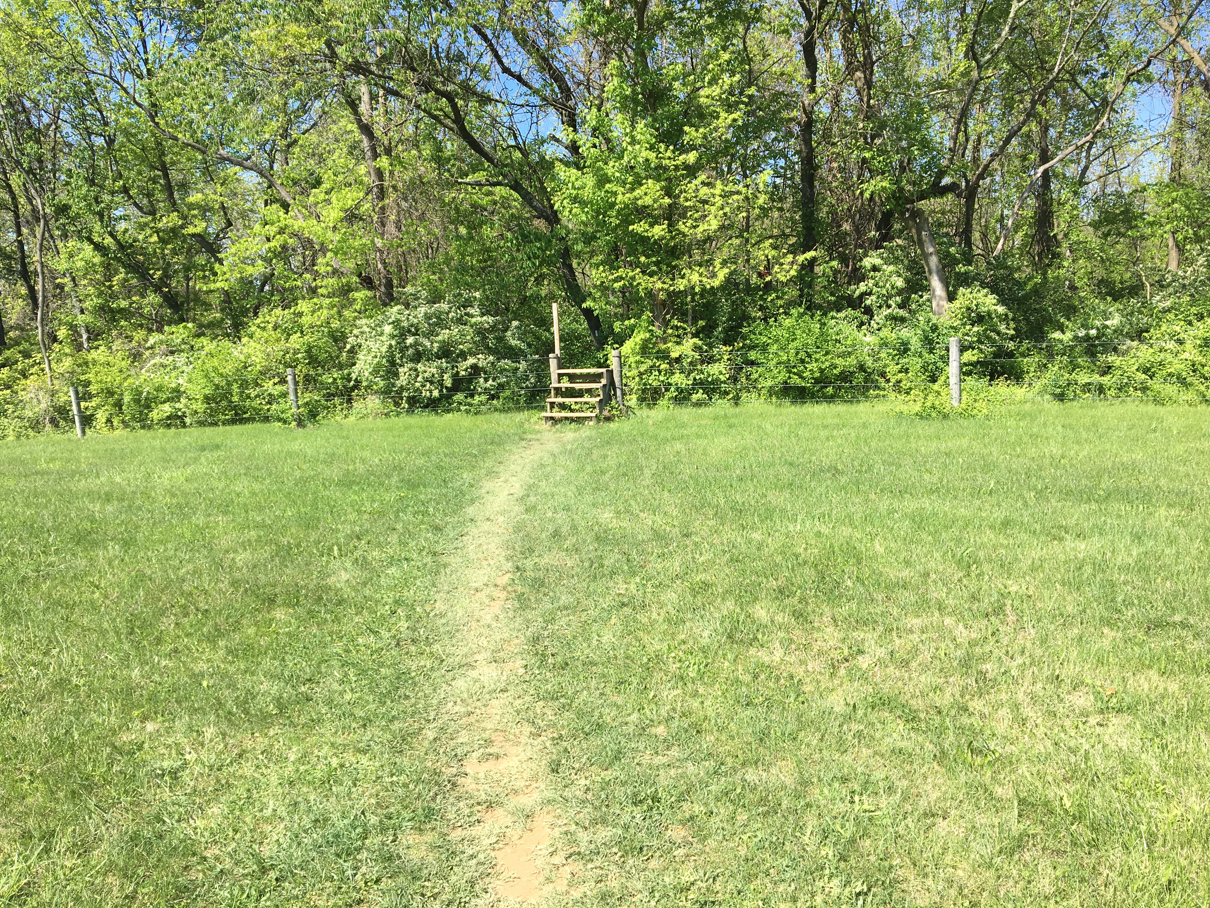 Using stiles to get over the fences
And then came the moment (or as soon as I was aware) I passed 100 miles.
 100 miles (more or less)!
Although soon afterward, I really started to drag. There was still more than an hour to go… it was beginning to get painful, especially my feet.
Still, it was beautiful, and somehow I was able to see it despite how tired I was. 
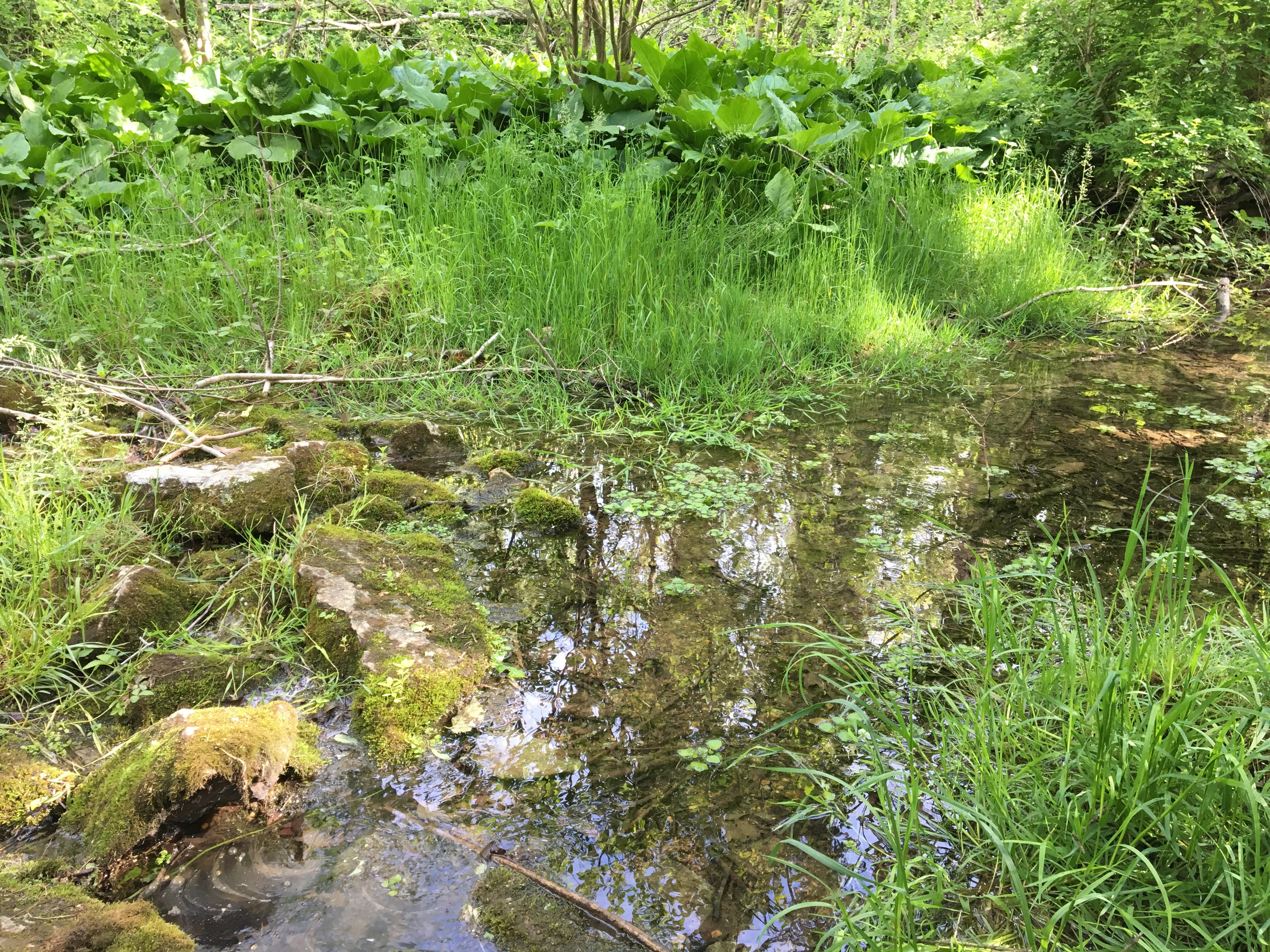
I took a last rest at a little stream, amidst catbirds and others birds I didn’t recognize.
Finally, I got to the hotel, showered, then lay in a scalding bath for awhile, before going to the diner next door for manicotti and salad; my reward for a record 16.8 miles!!! (not that I’m keeping track!)

Sorry, I had intended to be succinct. Time to call it a night…
Peace.

Leave a comment